40km easy
An unexpectedly easy jaunt, mostly because of a bit of misdirection on the Trans Canada Trail app and map.
Having spent the evening researching, we decided to take the trickier route to Ottawa through Gatineau Park, which would involve some single track and pieces not meant for gravel bikes.
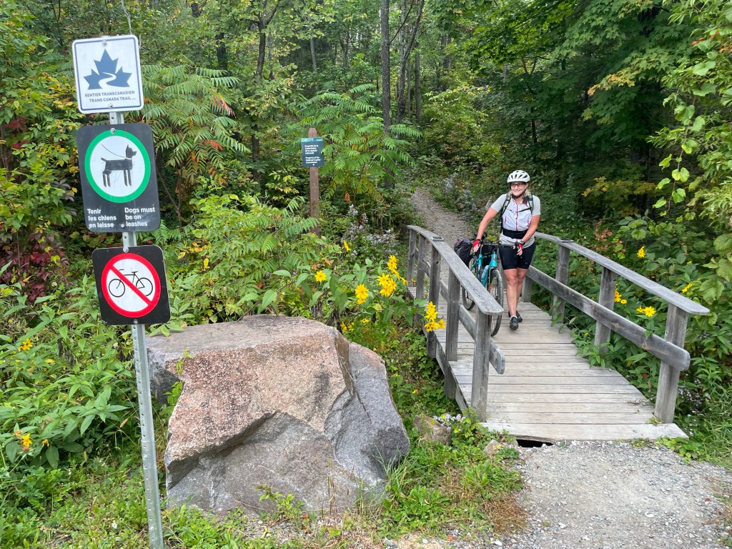
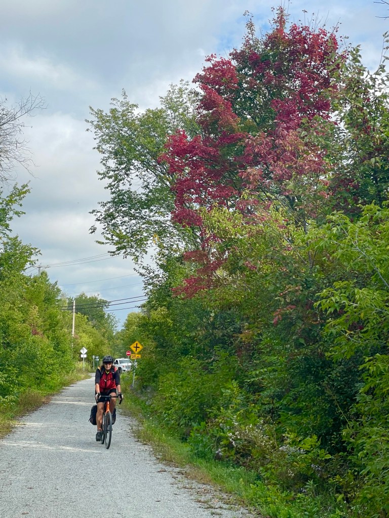
But just outside Wakefield, following the map/app, we came onto a steep single track of rocks and roots marked “no cycling”. We tried it anyway, but it would have been a long walk with pannier-laden bikes, so we turned back and opted for the road along the Gatineau river. What we didn’t know was that we could have gone around this no-bike portion and joined the correct track further on. It still would have been challenging – more for mountain bikes – but we think we could have done it.
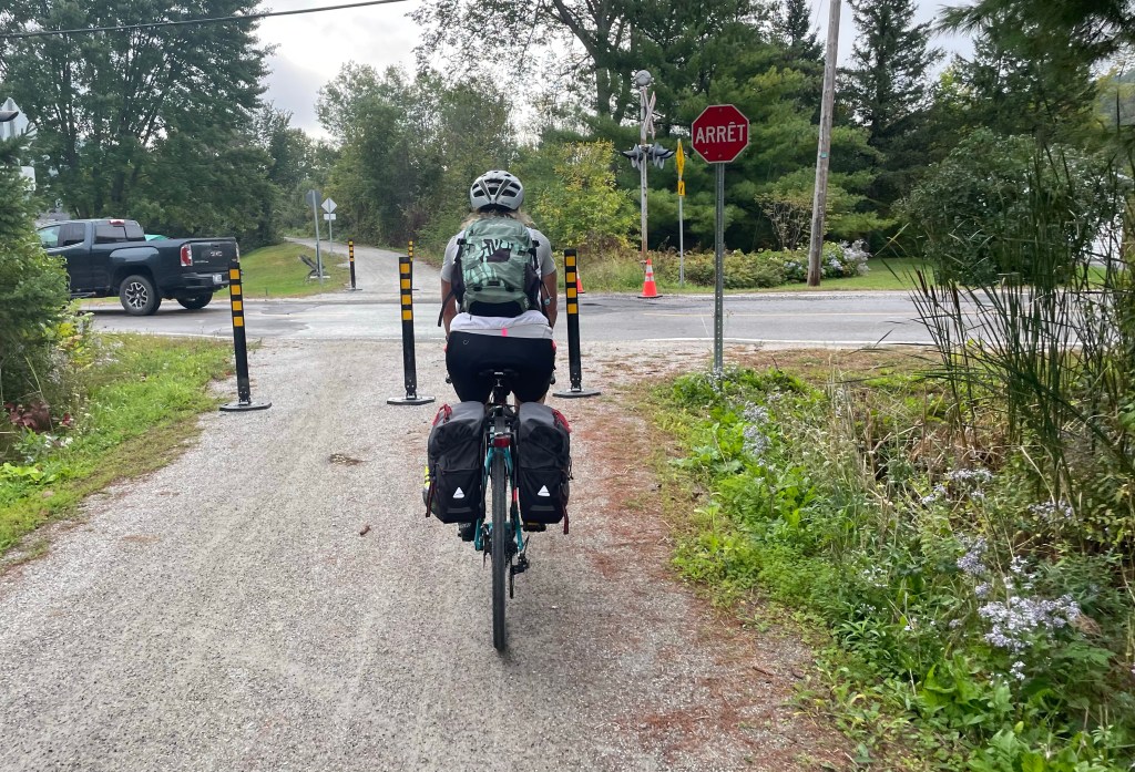
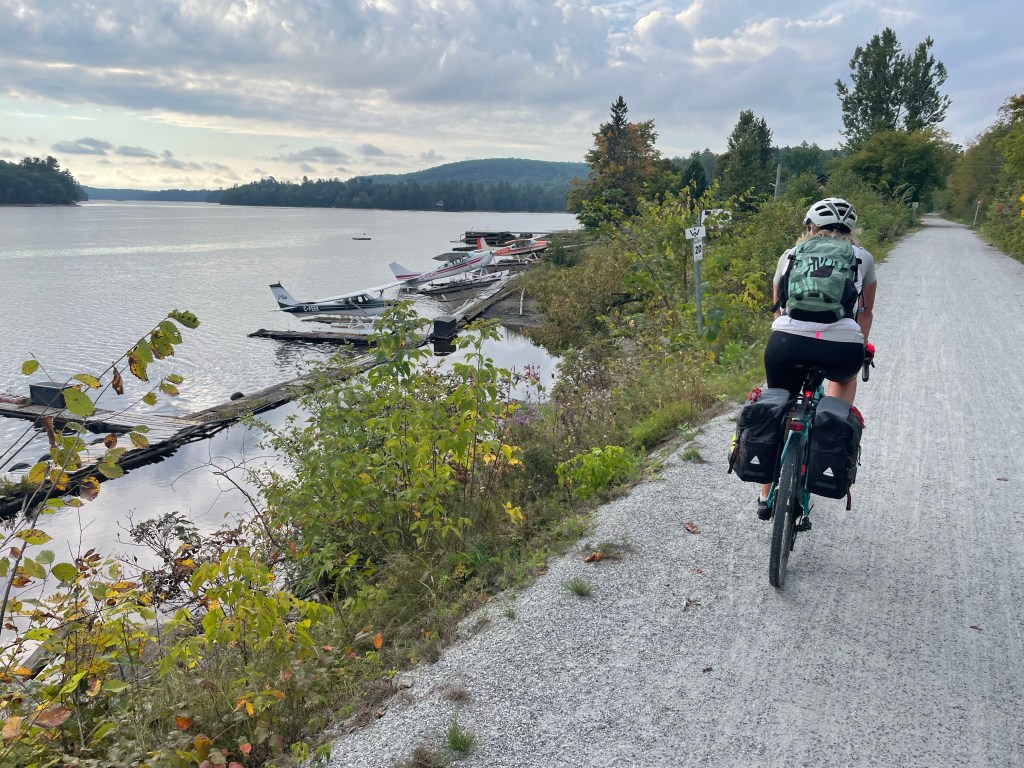
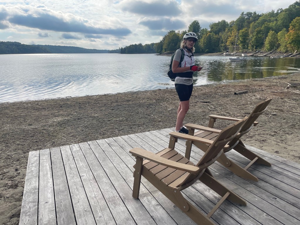
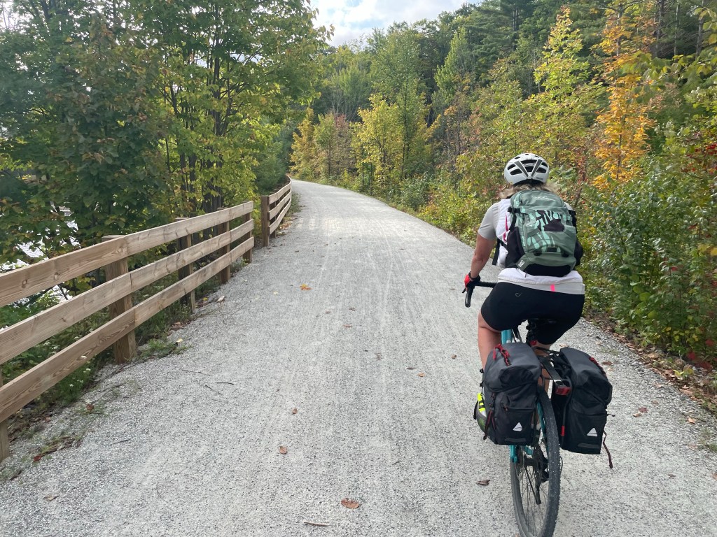
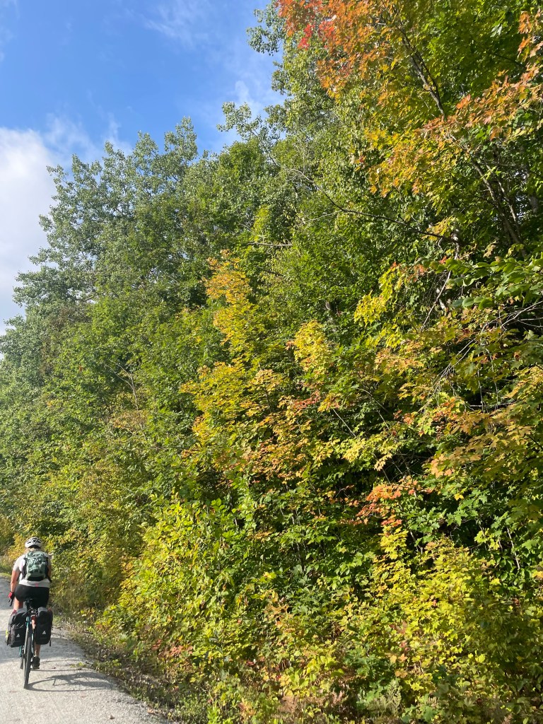
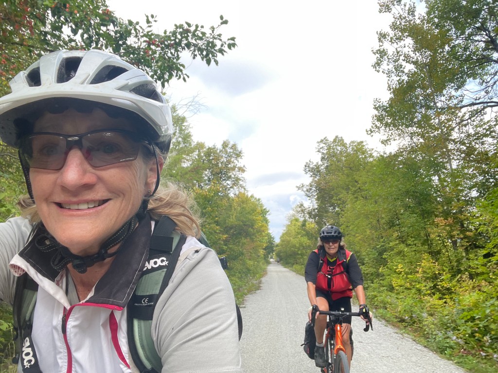
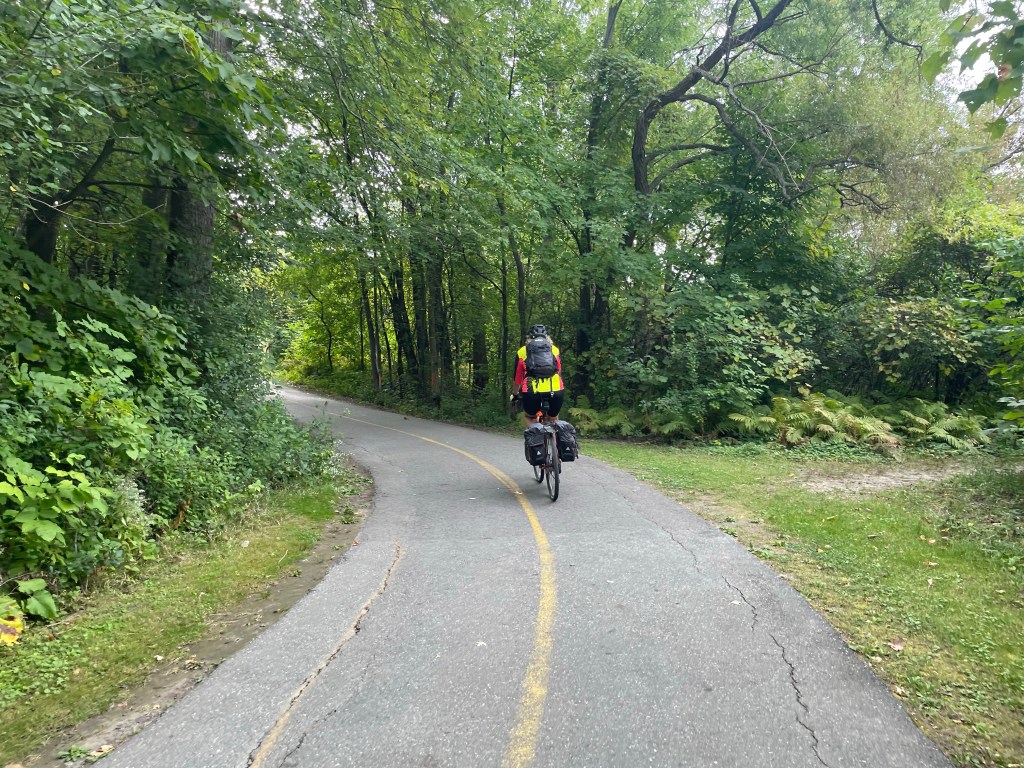
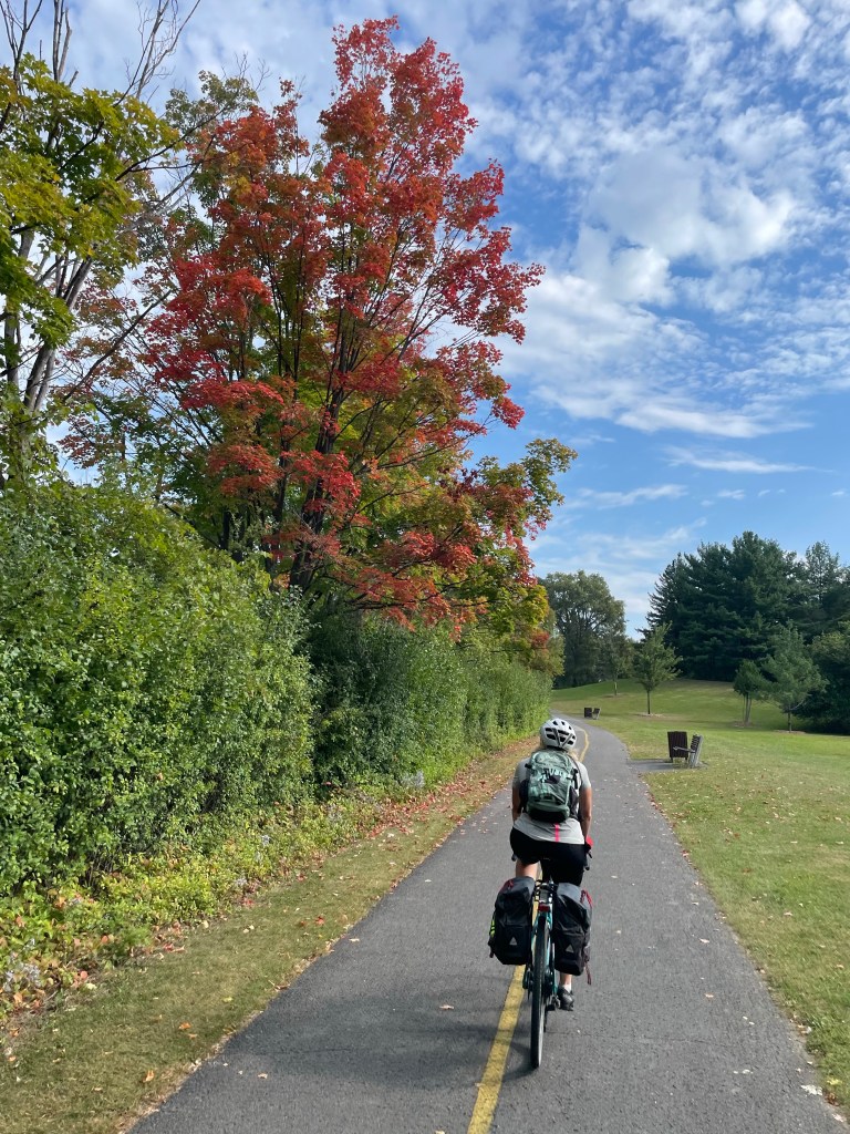
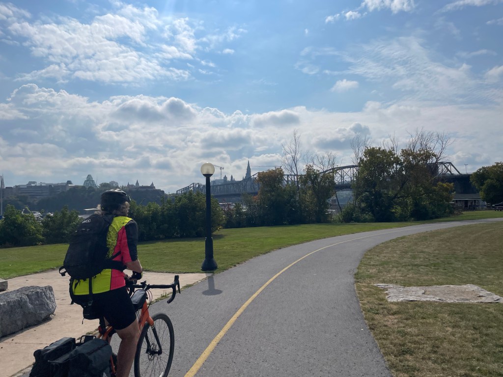
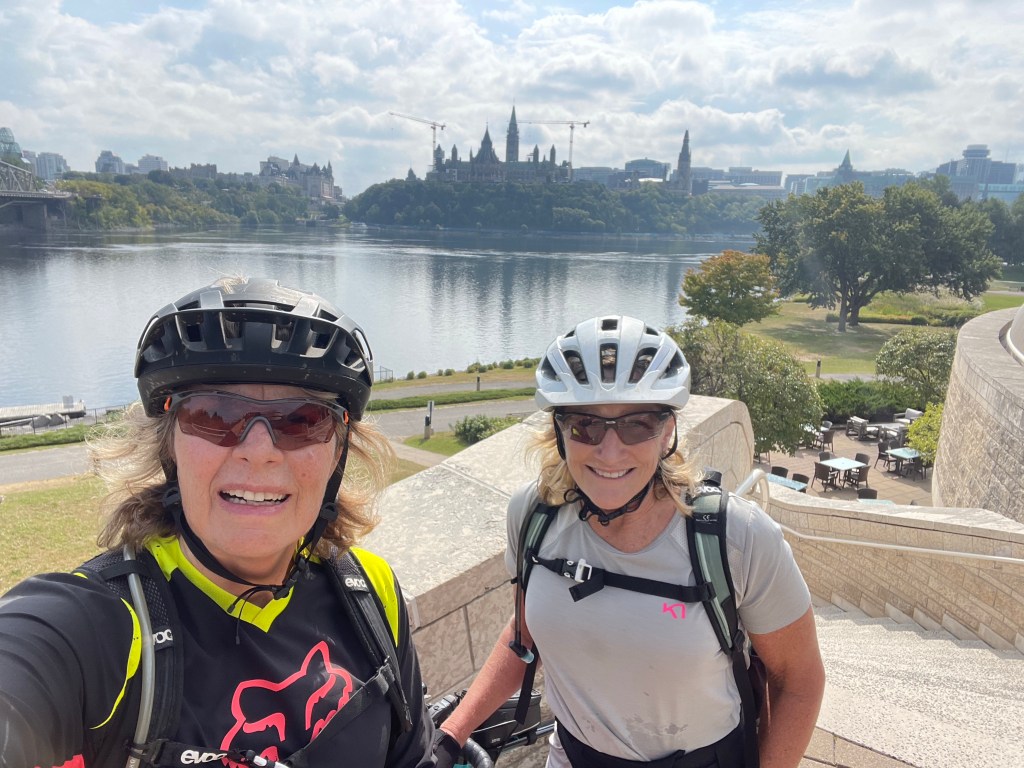
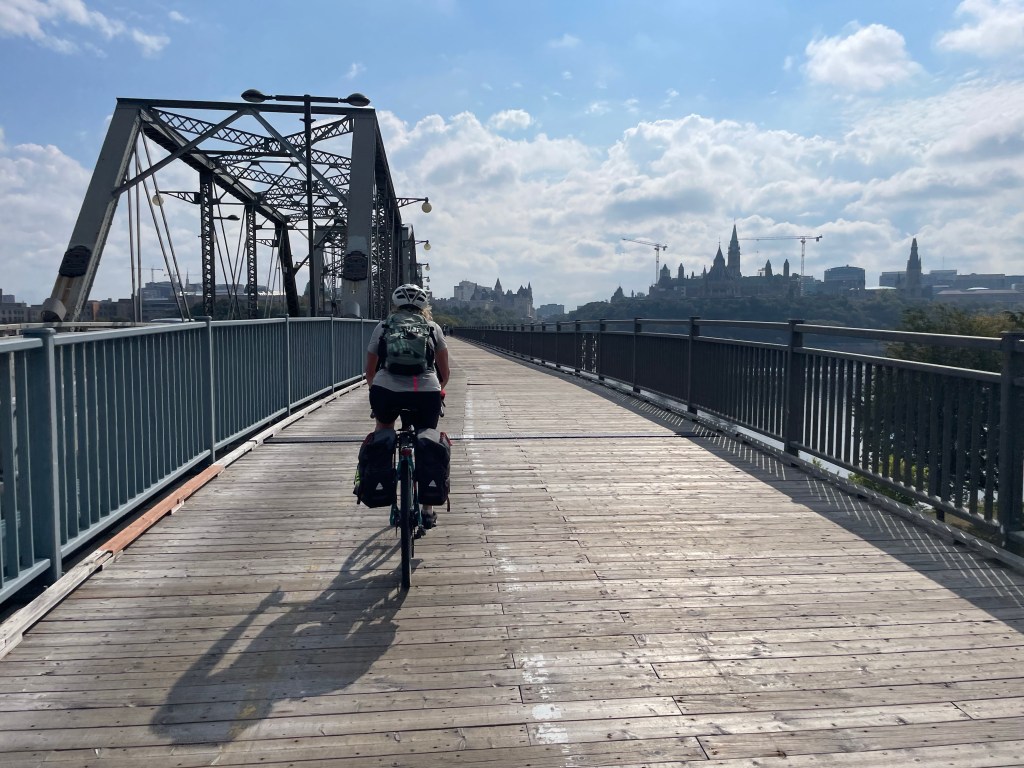
In the end, we picked up a lovely community trail on an old rail line along the river, completely unmarked on the Trail map. It made for very easy and pretty cycling almost all the way into the parks on the outskirts of Gatineau town and across the river into Ottawa, and Ontario – our sixth province on this incredible journey.
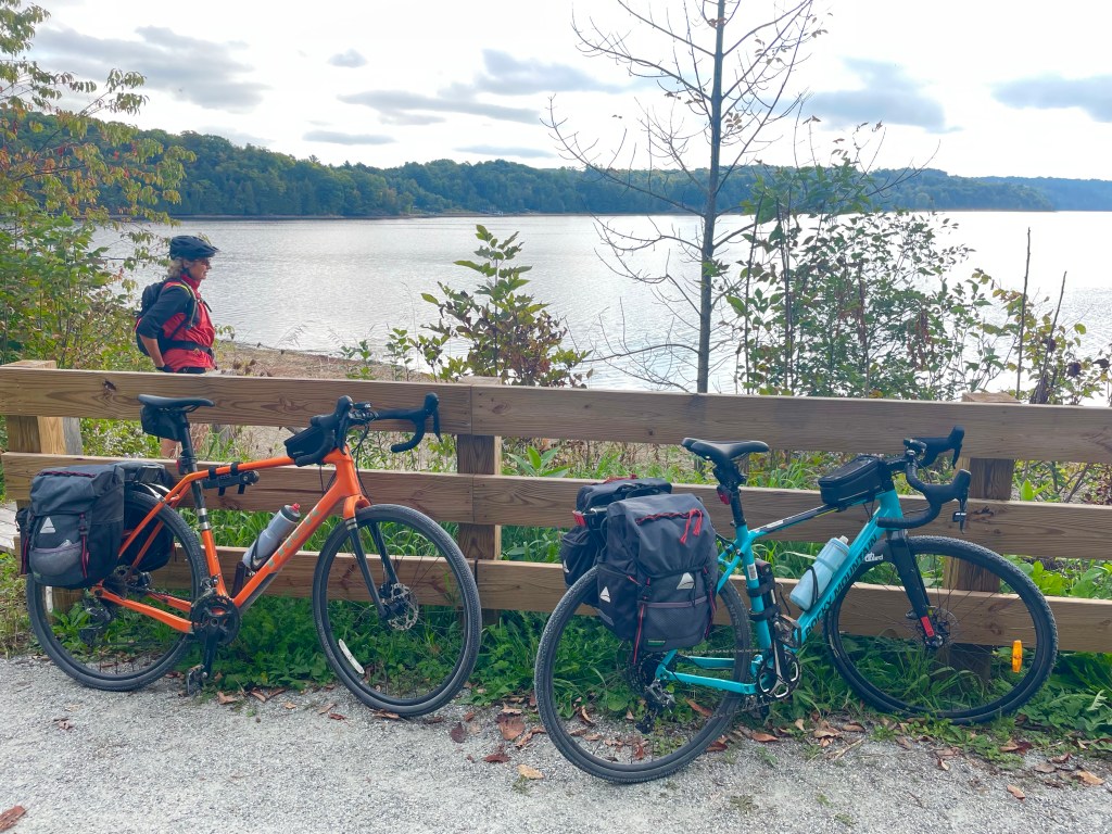
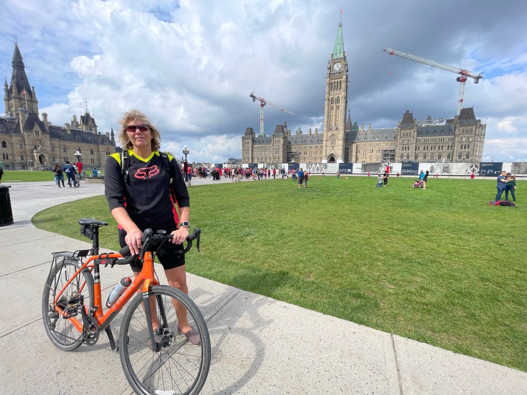
So our day was shorter and easier than expected, which gave us time to pack the bikes, see a bit of Ottawa and have a relaxed evening before an early flight home tomorrow.
That’s it for this year – in 2024 we hope to get back to over 1,000km.
Today: 40km
Total distance: 4,413km
#transcanadatrail